GPS Simulation
GPS Simulation spoofs the device geolocation the browser reports — the signal search engines and especially Google Maps use to localize results. (It does not change IP-based location — that comes from your connection method.) It's the key ingredient of local-SEO and Google Maps campaigns: visitors appear to be physically near your business.
Enable GPS Simulation inside a task and add locations in any of four ways — you can mix them, one location per line; the bot rotates among them:
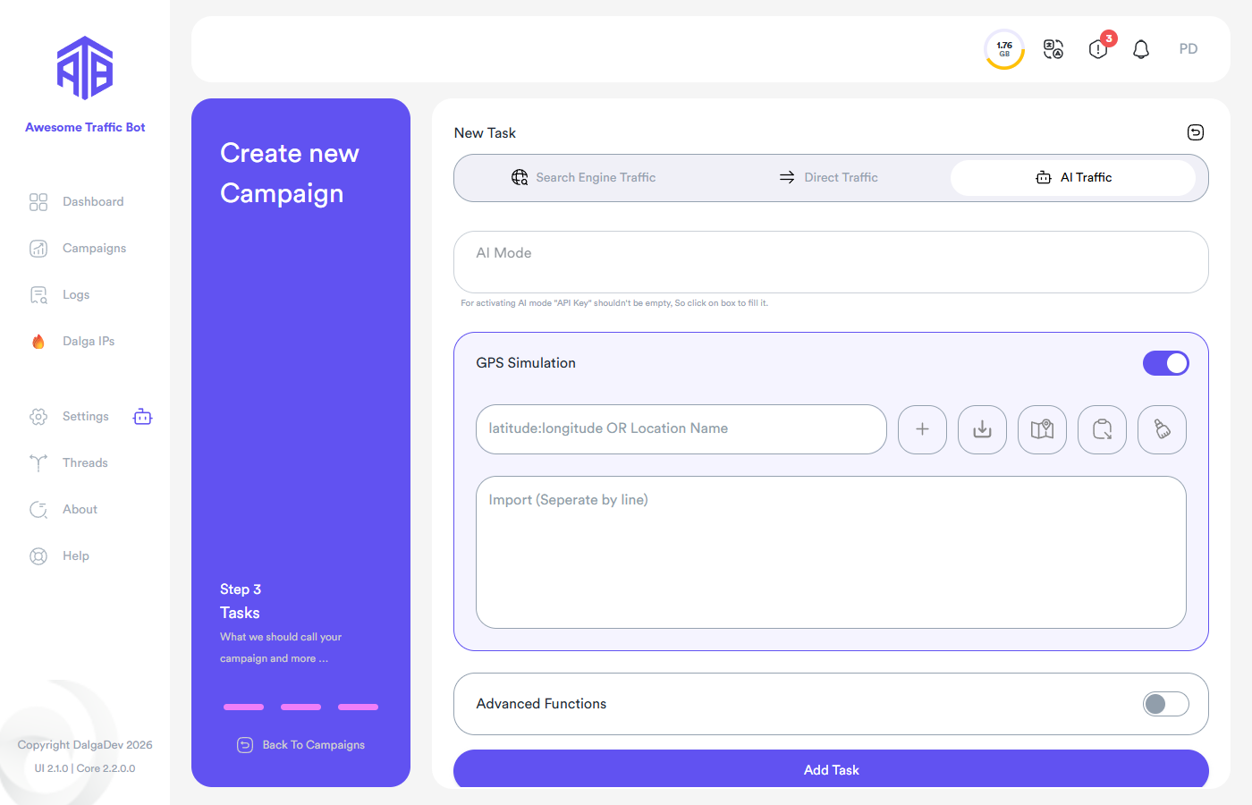
Built-in map selector
Click the map icon next to the location field to pick locations visually:
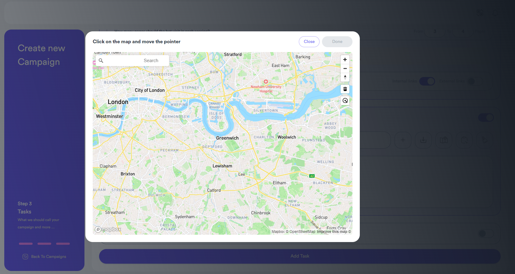
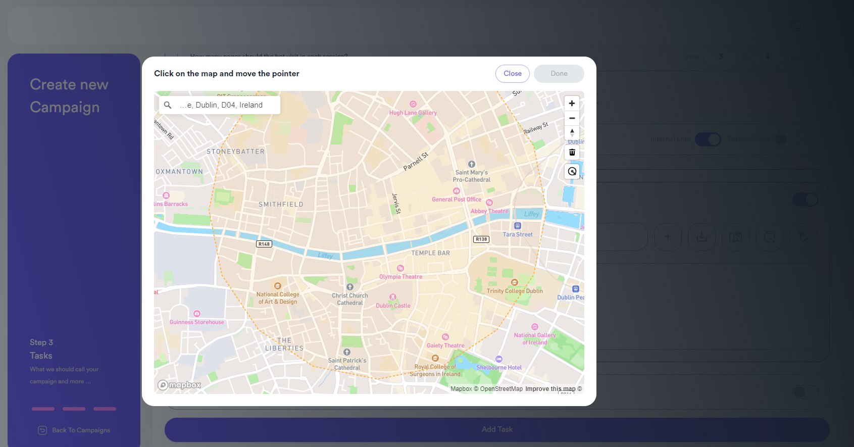
Type an address to jump the map there, then click your desired spot and move the pointer away from the center — the app draws a circle and calculates the radius automatically. The bot then picks a random point inside each circle for every visitor, so no two visitors share the exact same coordinates. Add as many circles as you like (Add New Circle); double-click a circle to remove it.
Location names
Simply type the names of famous places or streets — the bot resolves the coordinates automatically:
Times Square
Golden Gate Bridge
Bond Street
One location per line.
Manual coordinates
Enter coordinates directly in the form:
latitude:longitude
You can also define a range the bot randomizes within:
latitude1-latitude2:longitude1-longitude2
Latitude1 must be lower than latitude2 (same for longitudes). For example:
-25.125078--20.00480:-40.804874--40.50
means a latitude between −25.125078 and −20.00480 and a longitude between −40.804874 and −40.50. With negative coordinates you'll naturally get double dashes — that's not a typo.
Decimal points are handled correctly regardless of your Windows regional settings.
Import from a text file
Use the Import field (or the file icon) to load location names or coordinates from a text file — one location per line, any of the formats above.